|
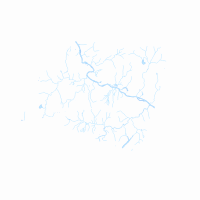
Width: 400 Height: 400 Extent:
YMin: 200949.95291208228 XMax: 469432.49812561984 YMax: 218611.0700219448 Spatial Reference: 32145 (32145) LatestVCSWkid(0) Scale: 166876.3633476688 |
| ArcGIS REST Services Directory | Login |
| Home > services > Richmond_Hydrologic_Features (MapServer) > export | Help | API Reference |

|
Width: 400 Height: 400 Extent:
YMin: 200949.95291208228 XMax: 469432.49812561984 YMax: 218611.0700219448 Spatial Reference: 32145 (32145) LatestVCSWkid(0) Scale: 166876.3633476688 |