|
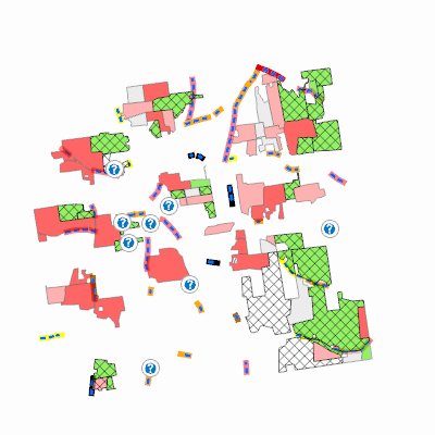
Width: 400 Height: 400 Extent:
YMin: 196001.6977009476 XMax: 460850.7205021847 YMax: 210420.95379648576 Spatial Reference: 32145 (32145) LatestVCSWkid(0) Scale: 136244.66699552085 |
| ArcGIS REST Services Directory | Login |
| Home > services > HinesburgNR_ProtectedLayers (MapServer) > export | Help | API Reference |
|
|
Width: 400 Height: 400 Extent:
YMin: 196001.6977009476 XMax: 460850.7205021847 YMax: 210420.95379648576 Spatial Reference: 32145 (32145) LatestVCSWkid(0) Scale: 136244.66699552085 |